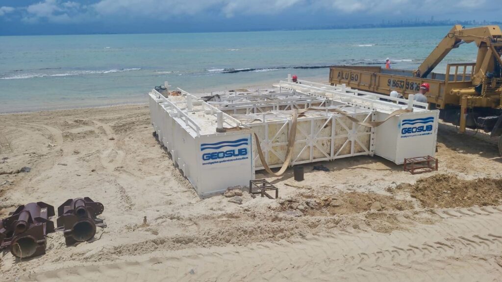
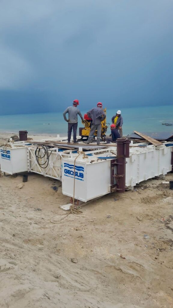
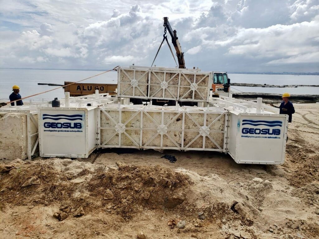
In the next few days, a rig that is being set up on the seashore in the municipality of Vera Cruz, on the island of Itaparica, will be used for geotechnical surveying for the Salvador-Itaparica Bridge.
According to the concessionaire responsible for the construction of the bridge, drilling equipment will be attached to this rig to drill two holes in an area close to the sea. According to the concessionaire’s schedule, this service will be part of the onshore phase of the project, since the water depth in the coastal area is shallow.
Deepwater drilling is scheduled to begin in March, using even larger rigs and barges.
Last Wednesday (21st), the onshore geotechnical survey began in Salvador, in an area near the ferry terminal. The survey is necessary to understand the characteristics of the terrain and to determine the foundation of the bridge structure. A drill is used to take soil samples from the area where the piers will be installed. These samples are then sent to the laboratory for detailed analysis of the collected material.


